

On the morning of Saturday, May 23, 2026, a powerful magnitude 6.0 earthquake struck the Honaunau-Napoopoo region on the Big Island of Hawaii, sending shockwaves through the archipelago’s agricultural heartland. The seismic event, which occurred at 7:46 a.m. UTC, represents the most significant earthquake to hit the islands in nearly five years. While local authorities have confirmed that there were no fatalities directly resulting from the tremor, the secondary effects on the region’s infrastructure—specifically within the world-renowned Kona coffee belt—have sparked a localized humanitarian and economic crisis. The destruction of critical water catchment systems has left thousands of residents and farmers without a reliable water supply, threatening the viability of the current year’s coffee harvest and the long-term stability of rural farming communities.
Seismic Profile and Immediate Aftermath
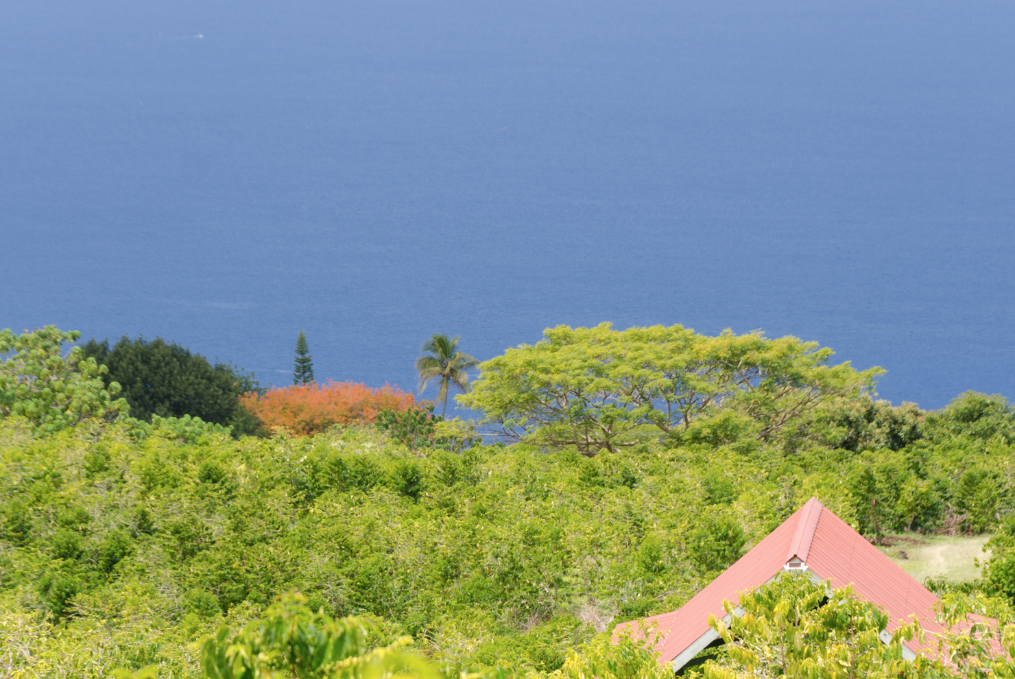
The United States Geological Survey (USGS) recorded the epicenter of the 6.0 magnitude quake near Honaunau-Napoopoo, a region situated on the western slopes of Mauna Loa. This event is the largest seismic disturbance in Hawaii since October 2021, when a 6.2 magnitude earthquake struck just south of the Big Island’s shore. The 2026 quake originated at a relatively shallow depth, which intensified the surface shaking experienced by residents in the North and South Kona districts.
Initial damage assessments conducted by Hawaii County officials revealed extensive property damage across the western side of the island. While modern residential structures largely withstood the lateral forces of the quake, older agricultural outbuildings and specialized infrastructure suffered catastrophic failures. The most critical of these failures involved the localized water collection systems that define the rural landscape of the Big Island. Unlike the more urbanized areas of Oahu or even parts of Hilo, much of the Kona district lacks a centralized county water utility, leaving the population dependent on decentralized solutions.
The Water Catchment Crisis: A Structural Vulnerability
The geography of the Big Island, characterized by porous volcanic rock and steep elevation changes, makes the installation of traditional subterranean water mains prohibitively expensive and technically challenging in many rural areas. Consequently, a vast majority of Kona’s coffee farms and residential estates rely on rainwater catchment systems. According to a 2017 study conducted by the University of Hawaii, approximately 60,000 individuals across the state utilize these systems as their primary or sole source of water. The highest concentration of these users is located in the Kona region.
These catchment systems typically consist of large, above-ground tanks, many of which are designed to hold upwards of 10,000 gallons. During the May 23 earthquake, the violent shifting of the ground caused many of these tanks to rupture, collapse, or shift off their foundations. When a tank’s structural integrity is compromised, the entire stored volume is lost almost instantaneously, saturating the surrounding soil and leaving the owners with an immediate deficit.
Reports from the field indicate that the scale of the damage is unprecedented. One of the primary suppliers of catchment systems in Kona reported receiving more than 200 emergency calls in the days following the earthquake from residents seeking total replacements. The demand has so severely outstripped local capacity that the company has begun transporting additional technicians and installation crews from Oahu to the Big Island to expedite the rebuilding process. However, even with increased labor, the lead times for new tank installations are expected to stretch into several weeks, if not months.
Chronology of Compounding Disasters
The May 23 earthquake did not occur in a vacuum; rather, it struck a region already reeling from a series of severe meteorological events. To understand the current plight of Kona coffee farmers, it is necessary to examine the timeline of the 2026 growing season:
- Late Winter/Early Spring 2026: The Big Island was struck by a series of "Kona lows." These are powerful subtropical cyclones that bring torrential rains, high winds, and flash flooding to the leeward (western) sides of the islands, which are typically drier.
- March and April 2026: The Kona lows resulted in significant soil erosion and damage to coffee trees. Many farms were forced to undergo emergency evacuations as mountain roads became impassable. Farmers spent these months clearing debris and attempting to stabilize their crops.
- Early May 2026: As the weather stabilized, farmers began the labor-intensive process of repairing irrigation lines and assessing the health of the flowering coffee cherries.
- May 23, 2026: The 6.0 magnitude earthquake struck at 7:46 a.m. The shaking destroyed the very tanks that had been filled by the preceding spring rains, effectively erasing the water reserves that were intended to sustain the farms through the drier summer months.
This sequence of events has created a "double-whammy" effect. The spring storms damaged the plants, and the earthquake destroyed the infrastructure required to help those plants recover. For many small-scale growers, the loss of 10,000 gallons of water represents not just a loss of personal utility, but the loss of their primary capital investment for the year.
Economic Implications for the Kona Coffee Industry
Kona coffee is one of the most expensive and sought-after varieties in the world, with a market value driven by its limited geographic footprint and labor-intensive cultivation methods. The industry contributes tens of millions of dollars annually to the Hawaiian economy. The destruction of water infrastructure puts the 2026 harvest at extreme risk. Without the ability to irrigate during dry spells or process the coffee cherries post-harvest—a process that requires significant amounts of water for washing—farmers may see a drastic reduction in both the quality and quantity of their yield.
The financial burden of replacing catchment systems is another significant concern. A standard 10,000-gallon tank, including the foundation prep and installation, can cost several thousand dollars. For a farming community already dealing with the rising costs of labor and fertilizer, this unexpected capital expenditure could be the breaking point for multi-generational family farms.
Official Response and Emergency Measures
In the immediate aftermath of the quake, Hawaii County officials declared a localized state of emergency to facilitate the movement of resources. The primary objective has been the delivery of potable water to residents whose tanks were destroyed. The county has dispatched 2,000-gallon water tankers to strategic locations throughout Kona to act as mobile filling stations.
"The priority is life safety and basic human needs," a spokesperson for the Hawaii County Department of Water Supply stated in a briefing. "We are working to ensure that no household is without water for drinking and sanitation, but we recognize that the agricultural needs of the community are vast and will require a more sustained, long-term intervention."
State legislators are also facing pressure to provide low-interest loans or emergency grants to farmers specifically for the reconstruction of water infrastructure. There is a growing consensus among local leaders that the dependence on private catchment systems, while necessary due to geography, creates a systemic vulnerability that requires state-level support during natural disasters.
Geological Context and Future Risks
The Big Island is the most seismically active island in the Hawaiian chain due to its position over the Hawaiian hotspot and the presence of five volcanoes, three of which are active. The May 23 earthquake is a reminder of the volatile nature of the region. Seismologists at the Hawaiian Volcano Observatory (HVO) have noted that while the earthquake was not immediately followed by volcanic eruptions, large seismic events can shift stress within the magmatic plumbing systems of Mauna Loa and Hualalai.
Historically, the Kona coast has been susceptible to significant earthquakes. The 1951 Kona earthquake, which measured magnitude 6.9, caused extensive damage to buildings and roads. The 2021 and 2026 events suggest a period of increased crustal adjustment along the western flank of the island. As the population of Kona continues to grow, the intersection of seismic risk and infrastructure vulnerability becomes increasingly critical.
Long-term Outlook and Sustainability
The future of the Kona coffee fields remains uncertain as the community pivots from emergency response to recovery. The resilience of the farmers is well-documented, but the frequency of climate-related and geological disasters in 2026 has tested that resilience to its limits.
To ensure the long-term sustainability of the region, experts suggest that a transition toward more robust infrastructure is necessary. This may include:
- Engineering Improvements: Designing catchment tanks with seismic-resistant bases and flexible coupling for pipes to prevent ruptures during ground movement.
- Diversified Storage: Encouraging farmers to utilize multiple smaller tanks rather than a single large one, thereby spreading the risk of total water loss.
- Governmental Integration: Exploring the feasibility of small-scale, community-based water micro-grids that could serve as a backup to individual catchment systems.
As the residents of Honaunau-Napoopoo and the surrounding coffee belt begin the arduous task of rebuilding, the global coffee industry watches closely. The 6.0 magnitude earthquake of May 23, 2026, will likely be remembered not just for the strength of its tremors, but as a turning point in how Hawaii manages the intersection of its unique geography, its agricultural heritage, and its essential natural resources. For now, the focus remains on the immediate: bringing water back to the hillsides of Kona and ensuring that one of the world’s premier coffee-growing regions can survive another season of hardship.